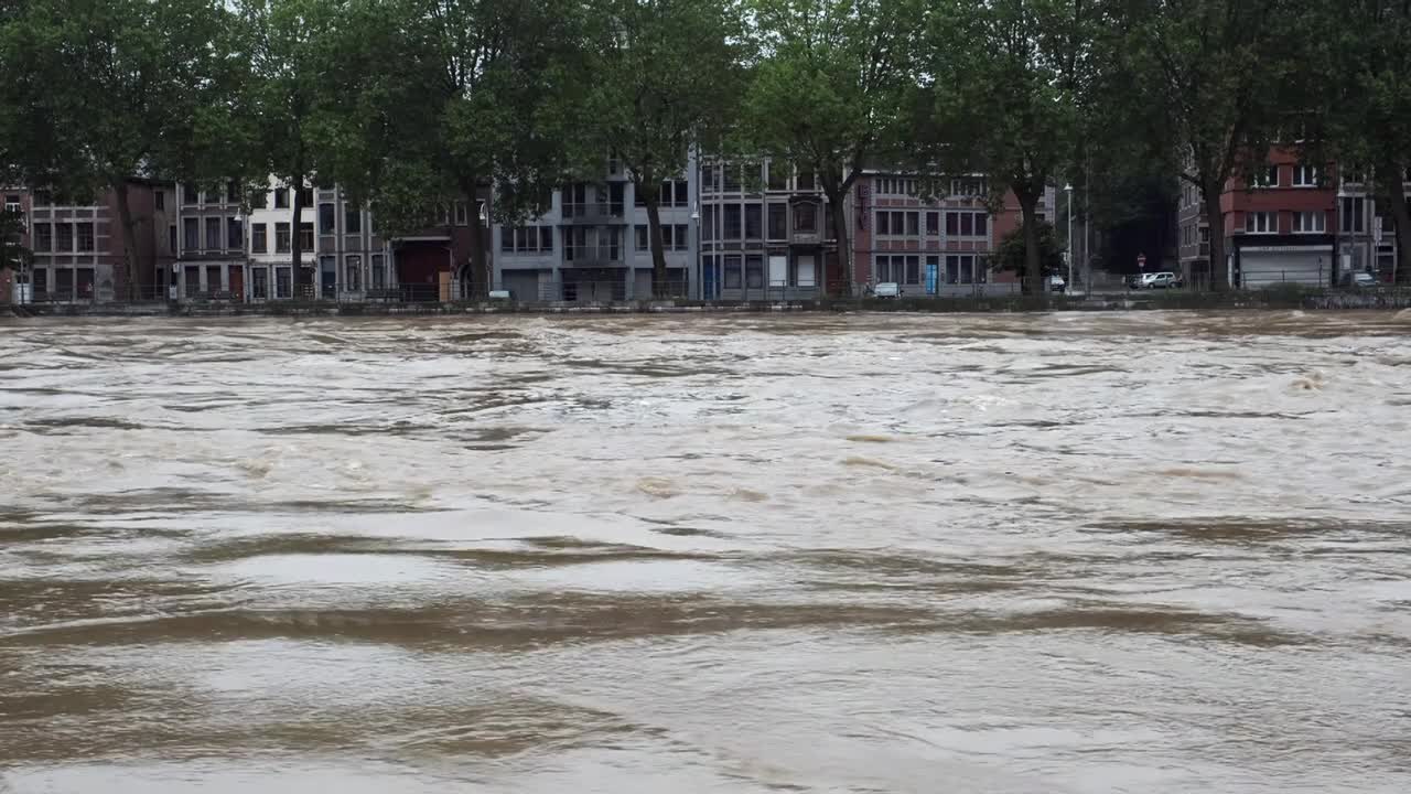


There were heavy floods in several European countries last summer. The Meuse was one of the rivers with extremely high water levels after torrential rain. We asked Jean-Noël Pansera, Secretary-General of the International Meuse Commission, about the collaboration between the different countries through which this river passes.
On 15 July 2021, the 200,000 residents of Liège in Belgium were urged to evacuate as the Meuse threatened to burst its banks. “Our building is close to the river and it was also flooded, but our office is on the third floor where the water didn’t reach,” says Pansera.
The Meuse is around 925 kilometres long. It originates in France and flows through Belgium and the Netherlands to the North Sea. On the way, it is joined by tributaries from Germany and Luxembourg. Delegations with experts from these countries meet in a range of working groups several times a year in Liège at the International Meuse Commission, an organisation with three employees that was established in 2002.
International Meuse Symposium
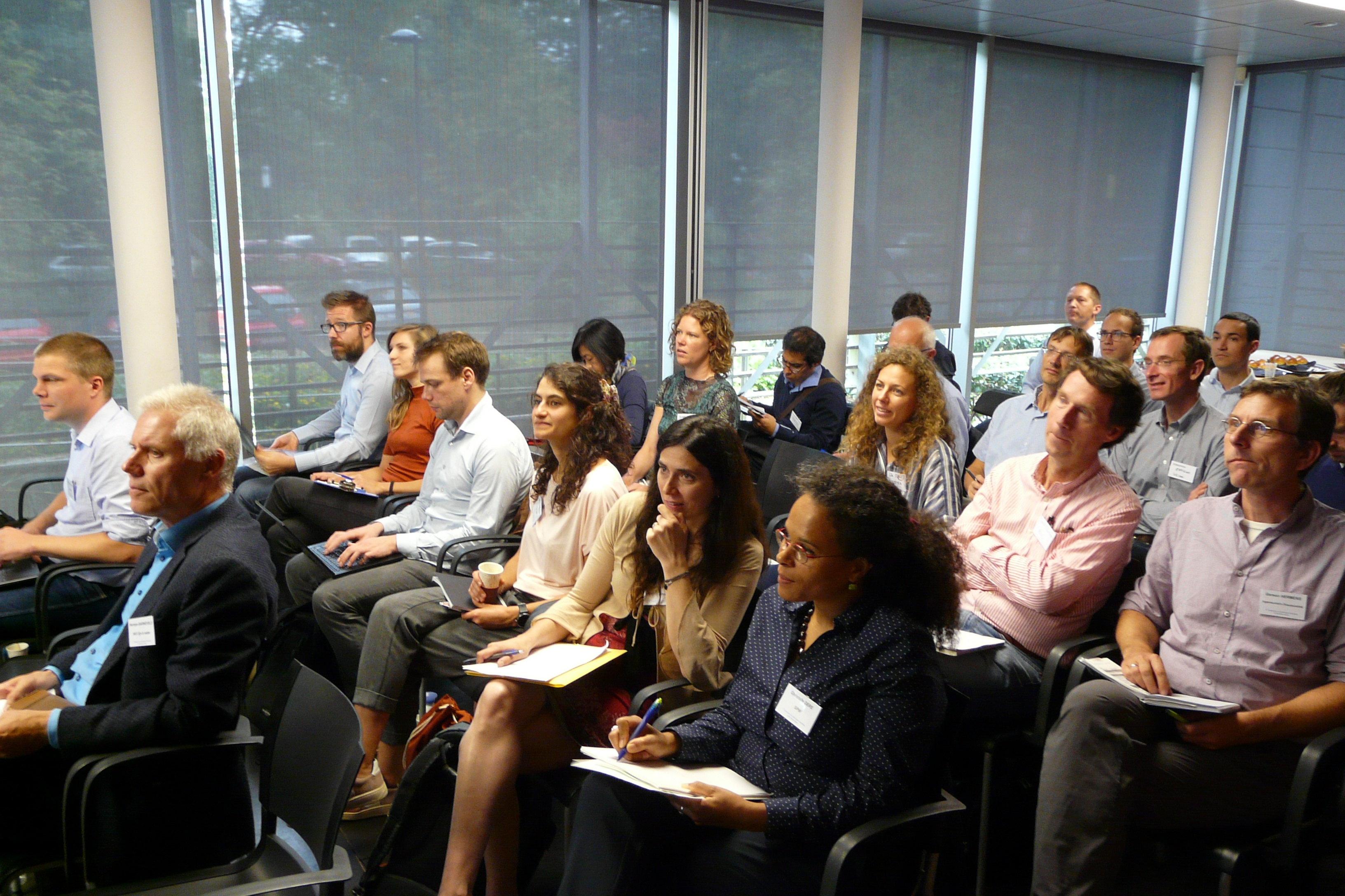
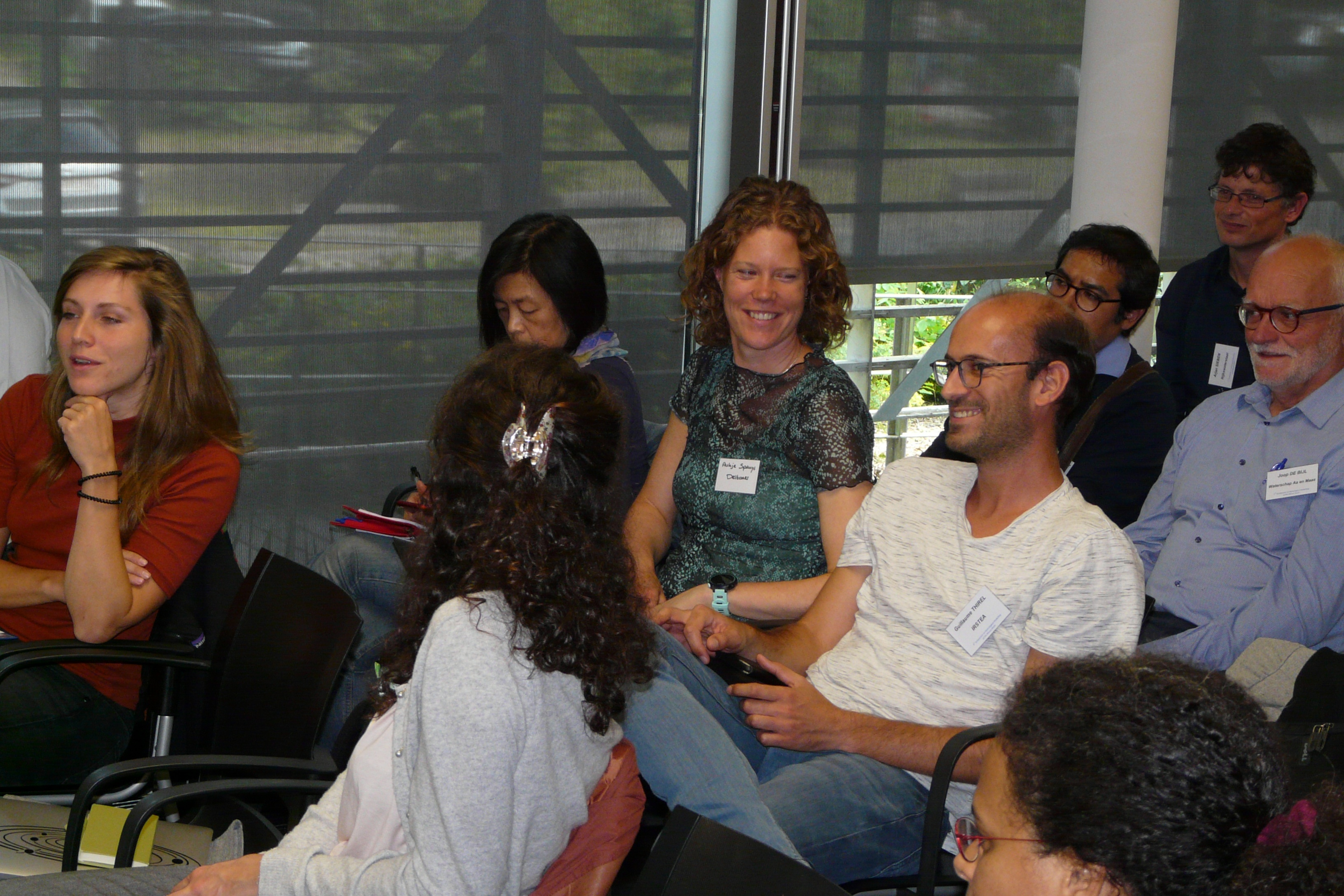
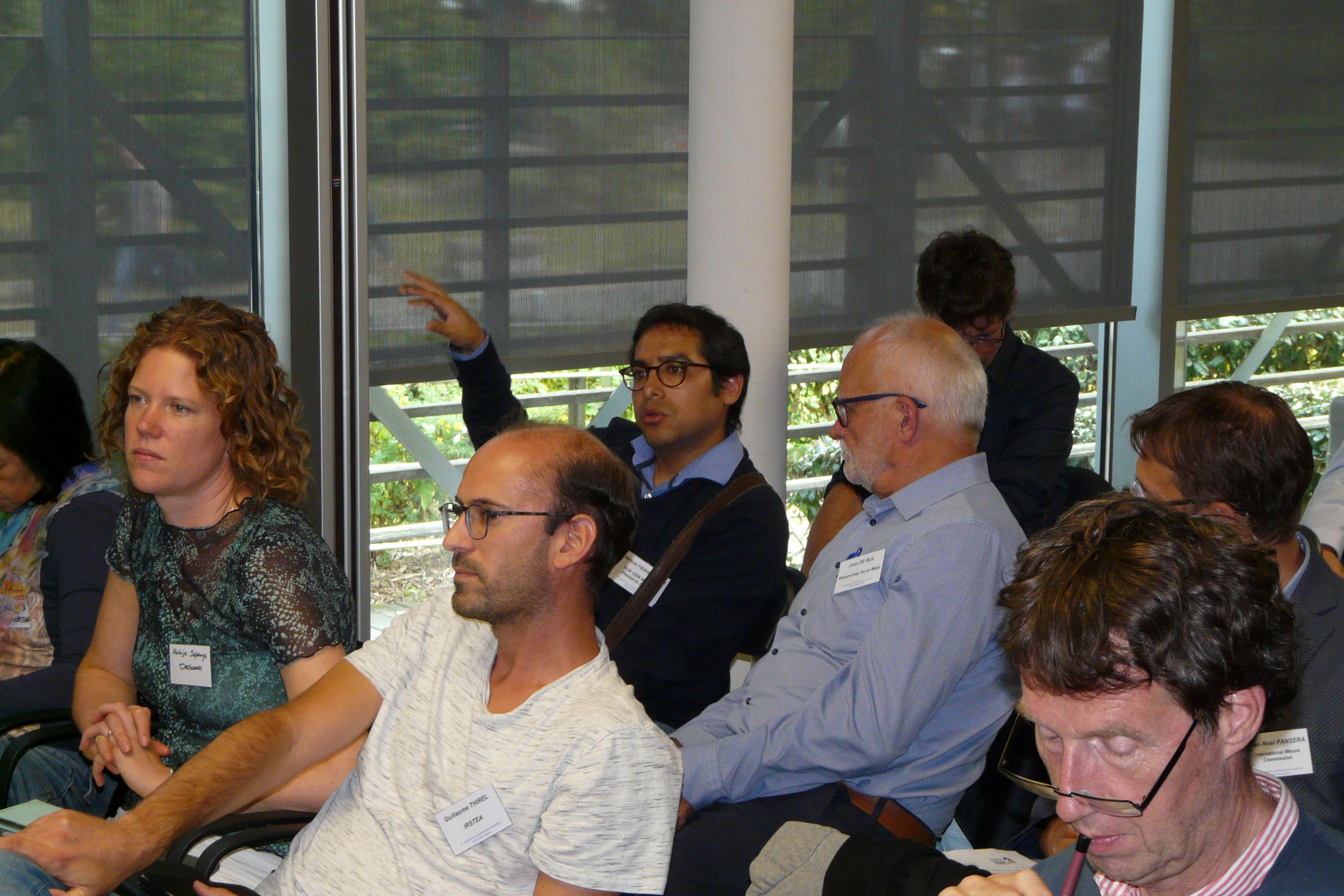
The seventh edition of the International Meuse Symposium was held online in September last year. Deltares organises the event with the University of Liège. The aim is to exchange science-based knowledge on water-related modelling and processes in the Meuse catchment. The symposium is attended by scientists, water managers and stakeholders and a record number of more than one hundred participants participated. The July 2021 flood was a focal point in the programme and other topics included sediment, plastic transport in the Meuse, climate change and fish migration.
Real-time data
One of jobs of the International Meuse Commission is to produce reports on water quality and flood risks every six years for the European Directives. There are 160 stations along the river where the water level is measured and shared in real time between all the delegations. They include sixty stations that can deliver flood forecasts.
“We know exactly how high the water is everywhere,” says Pansera. “Which means that the flood forecasting services did see the floods coming. They alerted the authorities to take measures like evacuating people and arranging for sandbags to protect the dikes.”
Exchanging knowledge
After the floods, the International Meuse Commission arranged a seminar for the flood forecasting services from the various countries. “The last time we met was nine years ago. We have agreed to meet once a year now and to start sharing our knowledge and the kind of models we use to forecast floods,” says Pansera.
Last year, the International Meuse Commission published a report about the exceptionally low water in the Meuse catchment between 2017 and 2020. The commission is also working with RIWA-Maas (the association of drinking water companies in the Meuse area) and Deltares on a model to forecast the amount of water – which is also used for drinking water – in the river. Pansera: “We now need to draw up a plan for extreme weather events and climate change adaptation.”

Bassin_de_la_Meuse.svg: Own Work, svg and inspired by Image:Meuse basin.jpgderivative work: Hans Erren, CC BY-SA 3.0
Contact person

Bernhard Becker
Hydrologist
Length of the Meuse
950 km from Plateau van Langres to Hollands Diep
Height difference of the Meuse
400 meters
Next article
Flood-resilient landscapes